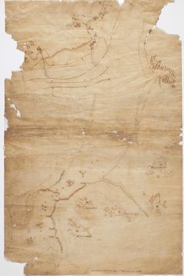
Map of King's Channel area, County Waterford
- IE OH OHS 86/4
- Item
- c.1818
Part of Sketch maps of William Larkin
1 results with digital objects Show results with digital objects
Map of King's Channel area, County Waterford
Part of Sketch maps of William Larkin
Three fragmentary draft or sketch maps on tracing paper of south and west Offaly dating to c.1808, and a fourth of the King's Channel area , County Waterford, dating possibly to Larkin's survey of County Waterford in 1818.
Larkin, William