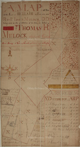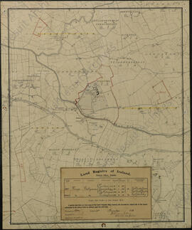
Folded map of parts of the lands of Bellair, "the estate of the Reverend John Mulock being now in the possession of his son, in Bellair, Thomas Homan Mulock. Situated in the King's County, and barony of Garrycastle'".
Surveyed in May 1799 by Thomas Cloonin.
Scale of ten perches to an inch.
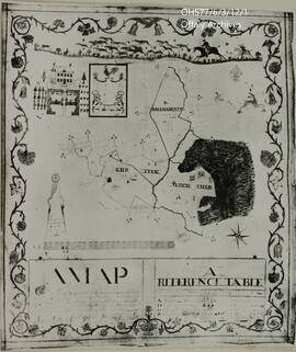
Canvas-backed paper map of the former county town of Philipstown (Daingean) compiled by Arthur Richards Neville in June 1786 for Richard Nassau Molesworth, 4th Viscount Molesworth (1748-1793). The map covers 2887 statute acres and includes environs of the town. The plots are numbered 1-130 with an accompanying reference table describing the contents of each land-holding unit. The reference is tabular, listing tenants' name, description of the holdings (e.g. 'a very fine farm all good meadow', 'good high Meadow & Pasture', 'great red bog', 'poor ground' etc) a yearly value and a sum total of the east and south east side of Philipstown.
Scale 20 perch to the inch (1:5040)
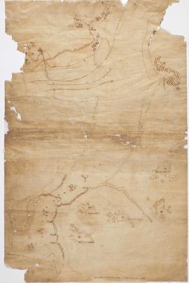
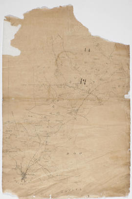
Neville, Arthur RichardsLinen-backed paper map of Tullamore town and leaseholders created by the Charleville Estate Office in 1869. Map is based on an earlier map from 1790s (now lost).
Documents contained within this file include a copy of an ordnance survey map from 1838 which records the property of the Lefroys at Cronebane. The file also includes a plan of the garden at Cronebane and an inventory of plants
This series has been formed from several plans gathered around D. E. Williams Ltd. The warehouse, the wine and spirits division, operation plants and the Heritage Centre are represented.